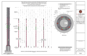
Structural and A&E Services
GeoStructural was founded by three licensed professional structural and civil engineers – each with a strong background in residential, commercial, and industrial design. They recognized a need in the telecom industry for tower analysts and field specialists who understood the structural complexity and infrastructure required in today’s wireless industry.
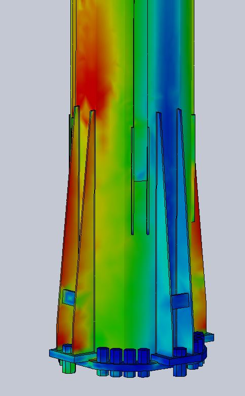
Since its inception GeoStructural has performed many thousands of antenna-supporting structure and foundation analyses and modifications utilizing contemporary analysis software such as tnxTower, Solidworks, EnerCalc, the RISA suite, the PLS suite, and our own privately-developed proprietary programs. Our engineering staff ensures all analyses conform to requisite codes/standards (e.g., ANSI/TIA 222-G or 222-H, ASCE, AISC, IBC) and are conducted with precision and accuracy. We are also contributing members to the TIA TR-14 Engineering Committee and leadership members of associated Ad Hoc sub-committees to stay current on emergent analysis practices and code development.
At our core, we aim to impress with our knowledge, and our clients appreciate our structural service turnaround times, with seven days as our benchmark. We currently carry civil/structural engineering licensure in 48 states and are poised to provide any structural service.
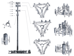
Mapping Services
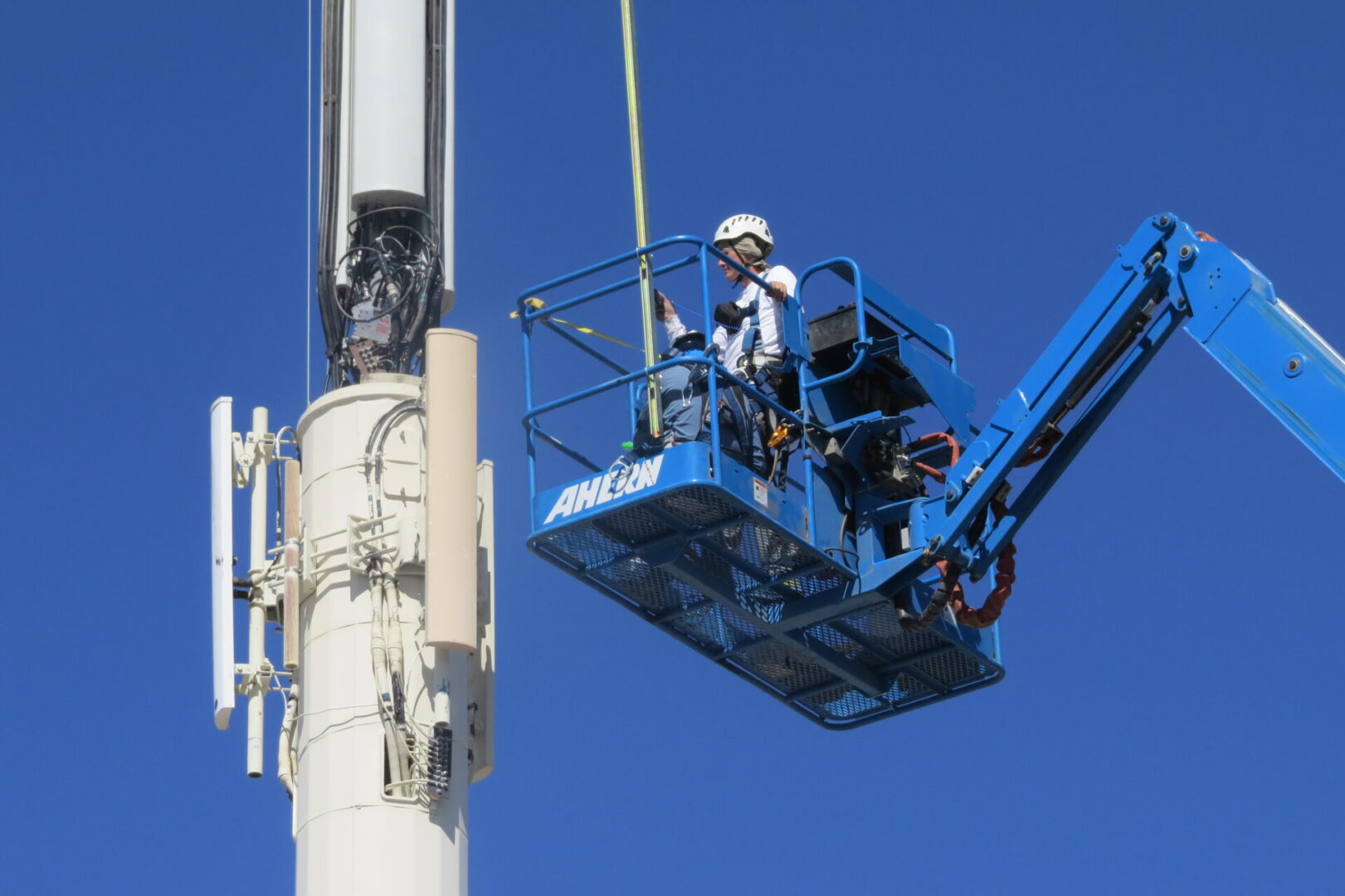
GeoStructural’s mapping services department is headed by four licensed professional engineers who climb and inspect cellular towers and are also certified competent tower climber/rescuers. Beyond the benefit of applying structural engineering to the field, this allows us to train our field personnel to accurately inspect tower structural members and gather the most pertinent information in support of structural analyses.
GeoStructural knows the importance of both safety and availability. Our in-house field technicians undergo a rigorous training procedure and are required to uphold current certifications and training in the following programs: Competent Tower Climber/Rescuer, OSHA 10-hour General, CPR AED, and First Aid, OSHA 29 Aerial Lift Operator and RF Radiation Safety.
We will not limit services based on variables such as tower height, type, location, or geography and have successfully completed thousands of tower/mount/foundation structural mappings, inventories, audits, and investigations. The primary driver of GeoStructural’s mapping capabilities is our culture of engineering education.
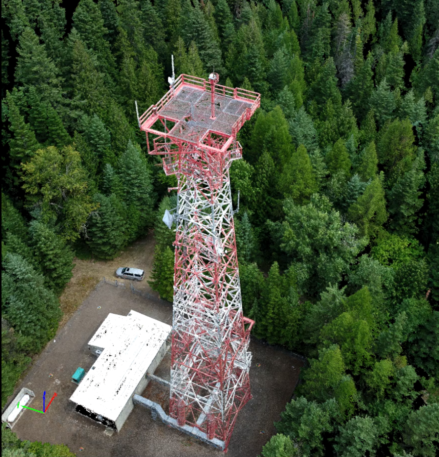
Aerial Services
GeoStructural’s is proud to offer an sUAV (small Unmanned Aerial Vehicle) aerial services division. The leader of the division is an in-house sUAV Pilot in Command (PIC) who spent four years in the Air Force as a computer operator during the Gulf War and is a licensed FAA-certified Sport Pilot. Our PIC has logged well over 1,000 hours of sUAV flight time and is also a Competent Tower Climber/Rescuer who has personally climbed hundreds of towers.
GeoStructural is fully licensed and insured and currently maintains FAA Section 333 exemption #15174, which allows for the commercial operation of an sUAV, and is able to obtain COAs to authorize operations within restricted airspace (a 10-mile radius from an international airport, 5 miles from a regional airport, 2 miles from a helipad). All flight missions utilize a Visual Observer (VO), who is also a trained tower climber. These missions are conducted with strict adherence to safety guidelines and the parameters set by the FAA.
The predominant motivation for offering aerial services to our clients is to be able to provide highly accurate field information that can be gathered efficiently in a safe context. Having crews with an sUAV PIC and a VO who are Competent Tower Climber/Rescuers is a critical component of our process and allows instant response to observed structural concerns.